

Mappe topografiche Chorley
Clicca su una mappa per visualizzarne la topografia, l'altitudine e il rilievo.








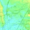
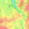
Coppull
United Kingdom > England > Lancashire > Chorley
The settlement has an Anglo Saxon name describing its topography derived from the Old English copp a hill top and hyll a hill. The township was variously recorded as Cophull and Cophulle in 1277, Copphull in 1351, Copthull in 1374 and Coppull from 1444.
Altitudine media: 80 m
A proposito di questo posto
Rivington • Brinscall • Euxton • Wheelton • Hoghton • Bretherton • Abbey Village • Adlington • Ulnes Walton • Eccleston • Brindle • Croston