Mappe topografiche Tuscany
Clicca su una mappa per visualizzarne la topografia, l'altitudine e il rilievo.
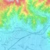
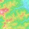
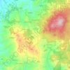
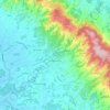
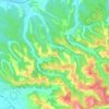
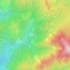
Lari
Lari is a walled mountaintop frazione, or hamlet, in the comune of Casciana Terme Lari, 60 kilometres (37 mi) southwest of Florence and 25 kilometres (16 mi) southeast of Pisa, in the Tuscany region of Italy. The municipal seat of its comune, Lari dates from at least the 9th century BC, a fact established by…
Altitudine media: 80 m




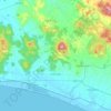
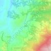
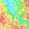
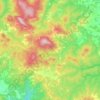
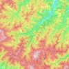
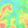
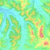
Seggiano
With the exception of units of low hill near the beds of rivers, the region extends mainly in hilly and mountainous odds, but good exposure allows the cultivation of a cultivar of olive, Olivastra Seggianese, called up to elevations of low mountains, managing to produce an oil of excellent quality.
Altitudine media: 550 m
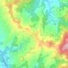

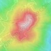
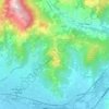
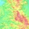
Mount Amiata
Italy > Tuscany > Siena > Abbadia San Salvatore
The region is included in the comuni of Abbadia San Salvatore, Arcidosso, Castel del Piano, Piancastagnaio, Santa Fiora and Seggiano, all located between 600 and 800 metres of altitude.
Altitudine media: 1.425 m
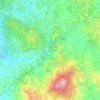



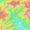
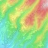
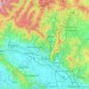
Grosseto
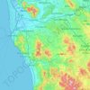
The Province of Grosseto completely occupies the southern end of Tuscany, and with a territorial area of 4,504 square kilometres (1,739 sq mi), it is the most extensive in the region and one of the least dense in population in Italy. The province is bordered to the northwest by the Province of Livorno, to the…
Altitudine media: 197 m

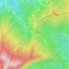



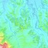
San Gimignano
The municipality of San Gimignano extends for 138 km² and is located on a hill in Val d'Elsa. The altitude difference is between a minimum of 64 meters a.s.l. in the plain of the river Elsa near Certaldo at a maximum of 631 meters in the area of Cornocchio.
Altitudine media: 239 m