Mappe topografiche Brisbane
Clicca su una mappa per visualizzarne la topografia, l'altitudine e il rilievo.
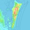


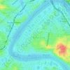


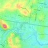
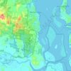

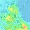
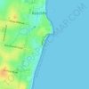
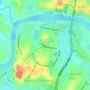
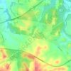
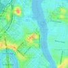
Bribie Island
Australia > Queensland > Brisbane
Bribie Island, located in Queensland, Australia, is a low-lying, elongated landmass stretching approximately 34 kilometers (21 miles) in length and up to 8 kilometers (5 miles) at its widest point. Composed predominantly of coastal sand plains, the island features two large, low-lying dunes extending…
Altitudine media: 6 m

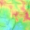







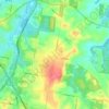
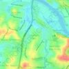
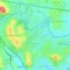
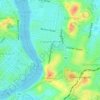
Caboolture Region Environmental Education Centre
Australia > Queensland > Brisbane
Altitudine media: 24 m




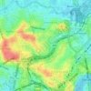
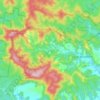
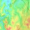
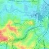
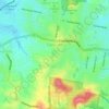
Armstrong Creek
Australia > Queensland > Brisbane
D'Aguilar National Park protects a section of forest in the west, where the D'Aguilar Range rises to elevations greater than 500 metres (1,600 ft). Apart from the protected area, the predominant land use is grazing on native vegetation with some horticulture.
Altitudine media: 149 m


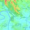
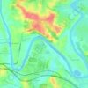

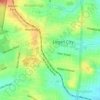





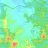
Nundah
Australia > Queensland > Brisbane
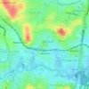
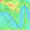
Schulz Canal runs through Nundah, bisecting the Toombul Shopping Centre Carpark. The low elevation of the carpark makes it particularly susceptible to flash flooding during peak storm seasons – often claiming the cars of unwary shoppers inside the centre and those attempting to cross the Melton Road bridge.…
Altitudine media: 16 m