
Fai una donazione
Preparati per la tua prossima avventura:
In qualità di associato Amazon, questo sito riceve una commissione sugli acquisti idonei senza alcun costo aggiuntivo per te.
Mappa topografica Pointe au Baril
Clicca sulla mappa per visualizzare l'altitudine.
Fai una donazione
Preparati per la tua prossima avventura:
In qualità di associato Amazon, questo sito riceve una commissione sugli acquisti idonei senza alcun costo aggiuntivo per te.
A proposito di questa mappa
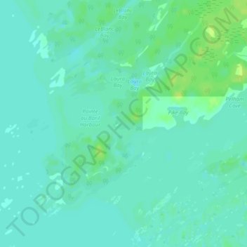
Nome: Mappa topografica Pointe au Baril, altitudine, rilievo.
Altitudine media: 177 m
Altitudine minima: 172 m
Altitudine massima: 186 m
Fai una donazione
Preparati per la tua prossima avventura:
In qualità di associato Amazon, questo sito riceve una commissione sugli acquisti idonei senza alcun costo aggiuntivo per te.
Altre mappe topografiche
Clicca su una mappa per visualizzarne la topografia, l'altitudine e il rilievo.
Conger Lake
Canada > Ontario > Parry Sound District > The Archipelago Township
Altitudine media: 200 m
Skye Island
Canada > Ontario > Parry Sound District > The Archipelago Township
Altitudine media: 191 m