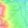
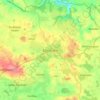
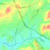
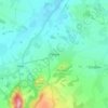
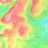
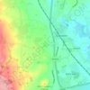
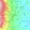
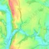
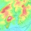
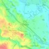
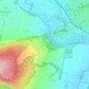
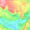
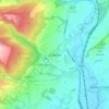
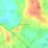
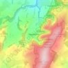
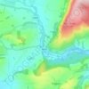
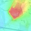
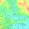
Mappa topografica Bridgnorth
Clicca sulla mappa per visualizzare l'altitudine.
Bridgnorth
The town is located in the Severn Valley, where the river passes through a relatively narrow valley with largely-wooded slopes. High Town, the part of the town sited on the west side of the Severn, is built on a notable promontory, at the southern end of which the castle was constructed, and is known as Castle Hill. Low Town is situated on lower-lying ground on the banks of the river. High Town is at an elevation of 65–68 metres (213–223 feet) above sea level, whilst Low Town is at 32–33 metres (105 feet). The lie of the land of Low Town is less hilly but then rises steeply to its immediate east.
A proposito di questa mappa

Nome: Mappa topografica Bridgnorth, altitudine, rilievo.
Luogo: Bridgnorth, Shropshire, England, United Kingdom (52.50577 -2.45650 52.54888 -2.36913)
Altitudine media: 80 m
Altitudine minima: 25 m
Altitudine massima: 154 m
Altre mappe topografiche
Clicca su una mappa per visualizzarne la topografia, l'altitudine e il rilievo.
Minton
United Kingdom > England > Shropshire > Church Stretton > Little Stretton
Altitudine media: 272 m