
Mappa topografica Navalagunda
Clicca sulla mappa per visualizzare l'altitudine.
Navalagunda
Navalgund is located at 15°34′N 75°22′E / 15.57°N 75.37°E / 15.57; 75.37. It has an average elevation of 578 metres (1896 feet). It is situated 35 km from Hubli and is famous as the birth place of 'Jamkhanas', the floor covering woven using cotton ropes, a kind of flat & thin carpet. Locally known as a Twin town with Naragund and together they are know as Bhandayad Nadu (Land of Rebels). It is famous for the Holi festival. The world famous Ramling Kamanna, to which people visit from various places during Holi Purnima. The famous Ajath Naglinga Swamy temple is in Navalgundas and well as the famous Nilamma Tank .
A proposito di questa mappa
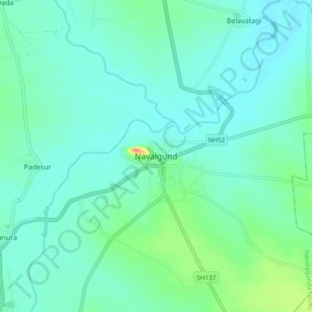
Nome: Mappa topografica Navalagunda, altitudine, rilievo.
Altitudine media: 579 m
Altitudine minima: 564 m
Altitudine massima: 644 m