
Mappa topografica Rapur
Clicca sulla mappa per visualizzare l'altitudine.
Rapur
Rapur is located at 14.2000°N 79.5167°E. It has an average elevation of 90 meters (298 feet). Rapur comes under Nellore district and has a border with Kadapa district. Rapur town is surrounded by very big hills named veligonda which makes it a sightseeing place especially in winter and rainy seasons. Agriculture plays a vital role and rice as a major crop.
A proposito di questa mappa
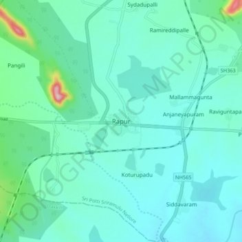
Nome: Mappa topografica Rapur, altitudine, rilievo.
Altitudine media: 91 m
Altitudine minima: 56 m
Altitudine massima: 287 m