
Mappa topografica Strmec na Predelu
Clicca sulla mappa per visualizzare l'altitudine.
Strmec na Predelu
Strmec na Predelu (pronounced [ˈstəɾməts na pɾɛˈdeːlu]; Italian: Bretto di Sopra) is a settlement in the Municipality of Bovec in the Littoral region of Slovenia. It lies on the road to the Predel Pass. Another road, distinguished by being the road built at the highest elevation in Slovenia, splits off the road to Predel and leads to the lodge on Mangart Saddle.
A proposito di questa mappa
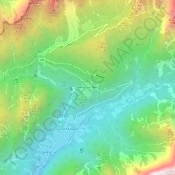
Nome: Mappa topografica Strmec na Predelu, altitudine, rilievo.
Luogo: Strmec na Predelu, Log pod Mangartom, Bovec, 5231, Slovenia (46.39613 13.59000 46.43613 13.63000)
Altitudine media: 1.141 m
Altitudine minima: 597 m
Altitudine massima: 2.222 m