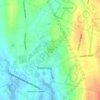
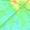
Mappa topografica Dighton
Clicca sulla mappa per visualizzare l'altitudine.
Dighton
Dighton is bordered by Rehoboth to the west, Swansea to the southwest, Somerset to the south, the Taunton River and the town of Berkley to the east, and the city of Taunton to the north. In addition to being bordered by the Taunton River, it also is bordered by the Three Mile River, a tributary which empties into the Taunton along the northeast border of town. The town is also crossed by the Segreganset River, another tributary of the Taunton which flows through the center of town, as well as several smaller brooks. The highest point in the town is in its northwest corner, where the elevation rises above 236 feet (72 m) above sea level.
A proposito di questa mappa
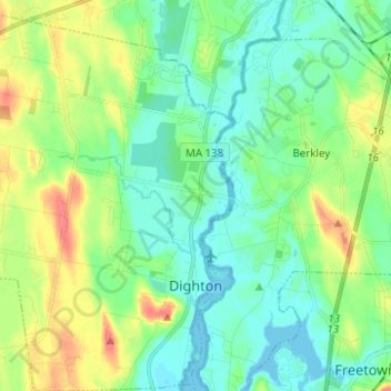
Nome: Mappa topografica Dighton, altitudine, rilievo.
Luogo: Dighton, Bristol County, Massachusetts, United States (41.78937 -71.20346 41.88184 -71.10749)
Altitudine media: 18 m
Altitudine minima: -4 m
Altitudine massima: 57 m
Altre mappe topografiche
Clicca su una mappa per visualizzarne la topografia, l'altitudine e il rilievo.

Leonard and Marydee Flynn Cons Area
United States > Massachusetts > Bristol County > Mansfield
Altitudine media: 39 m




Quincy Street
United States > Massachusetts > Bristol County > Fairhaven > Oxford
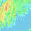
Altitudine media: 13 m


Daley Corner
United States > Massachusetts > Bristol County > Easton > North Easton
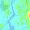
Altitudine media: 47 m

Source Is Shapefile From Town
United States > Massachusetts > Bristol County > Mansfield > Robinsonville
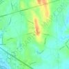
Altitudine media: 50 m