
Mappa topografica Cordeaux Dam
Mappa interattiva
Clicca sulla mappa per visualizzare l'altitudine.
A proposito di questa mappa
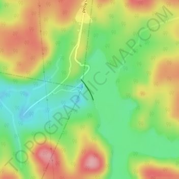
Nome: Mappa topografica Cordeaux Dam, altitudine, rilievo.
Altitudine media: 325 m
Altitudine minima: 265 m
Altitudine massima: 395 m
The dam is set within the valley of the Cordeaux River. Upstream of the dam wall this setting is characterised by the broad expanse of the pool of water bordered by the crests of the valley sides. Downstream of the dam wall the setting is characterised by the steeper inclines that graduate into the gorgre created by the river's flow over time. Collectively this topography at times of high water imparts a picturesque scene when viewed from selective vantage points above and on the dam wall.