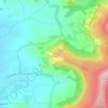
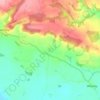
Mappa topografica Welburn
Clicca sulla mappa per visualizzare l'altitudine.
A proposito di questa mappa

Nome: Mappa topografica Welburn, altitudine, rilievo.
Altitudine media: 63 m
Altitudine minima: 15 m
Altitudine massima: 103 m
Altre mappe topografiche
Clicca su una mappa per visualizzarne la topografia, l'altitudine e il rilievo.
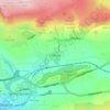
Scarborough
United Kingdom > England > North Yorkshire
The climate is temperate with mild summers and cool, windy, winters. The hottest months of the year are July and August, with temperatures reaching an average high of 17 °C and falling to 11 °C at night. The average daytime temperatures in January are 4 °C, falling to 1 °C at night. The station's elevation…
Altitudine media: 39 m







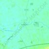
Thimbleby & Osmotherly Show field
United Kingdom > England > North Yorkshire > Thimbleby
Altitudine media: 152 m

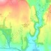
Farndale
United Kingdom > England > North Yorkshire > Ryedale > Gillamoor
With the population having decreased greatly from the 668 that is recorded in "A Topographical Dictionary of Yorkshire" by Thomas Lansdale published in 1822 when farndale East side had a population of 455 and Farndale West Side had a Population of 213.
Altitudine media: 273 m


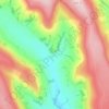
Whorlton Castle
United Kingdom > England > North Yorkshire > Swainby > Whorlton
Altitudine media: 102 m











Bolton Castle
United Kingdom > England > North Yorkshire > Redmire > Castle Bolton
Altitudine media: 250 m