

Mappa topografica Verinag
Clicca sulla mappa per visualizzare l'altitudine.
Verinag
The design of the Verinag garden is an adaptation of the traditional Persian Charbagh(four gardens). The Charbagh takes its inspiration from the Quranic description of heaven as having four rivers, of wine, honey, milk, and water. The traditional Charbagh is uniformly shaped, with a water source in its center and four (char) radiating streams which divide the garden (bagh) into four parts. As with other Kashmiri gardens, Vernag is located on a steep hillside, with its water source at the top. The traditional Charbagh design had to be altered to fit the site's topography, as the source of water shifted from the traditional center of the square garden to the highest point of the garden. Given the limited options for flowing water (which could only run in one direction, from top to bottom), the double symmetry of the Persian garden was reduced to a central water axis, and the other traditional streams were minimized, appearing only in the form of the east–west canal.
A proposito di questa mappa
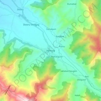
Nome: Mappa topografica Verinag, altitudine, rilievo.
Altitudine media: 2.127 m
Altitudine minima: 1.756 m
Altitudine massima: 3.073 m