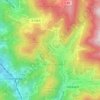
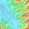
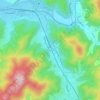
Mappa topografica Lauf
Clicca sulla mappa per visualizzare l'altitudine.
Lauf
The geographical feature that provides the name to Lauf is the Laufbach stream. This body of water originates from the northwestern side of the Hornisgrinde, subsequently flowing past Glashütte and eventually reaching Lauf. Its rapid descent forms a distinctive feature of the local topography.
A proposito di questa mappa
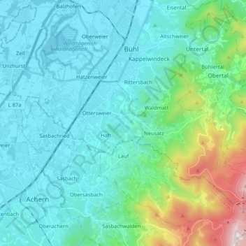
Nome: Mappa topografica Lauf, altitudine, rilievo.
Altitudine media: 297 m
Altitudine minima: 122 m
Altitudine massima: 1.136 m
Altre mappe topografiche
Clicca su una mappa per visualizzarne la topografia, l'altitudine e il rilievo.


Mattenhof
Germany > Baden-Württemberg > Ortenaukreis > Gutach (Schwarzwaldbahn)
Altitudine media: 402 m