
Mappa topografica Marshall
Mappa interattiva
Clicca sulla mappa per visualizzare l'altitudine.
A proposito di questa mappa
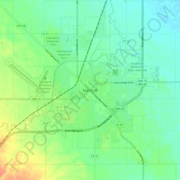
Nome: Mappa topografica Marshall, altitudine, rilievo.
Altitudine media: 354 m
Altitudine minima: 340 m
Altitudine massima: 383 m
Marshall is at latitude 44.47N and longitude -95.78W, with an elevation of 354 meters (1,161 feet) above sea level. The city is 150 km (93 mi) northeast of Sioux Falls, South Dakota and 238 km (148 mi) southwest of Minneapolis. It is in the Central Standard time zone and has been assigned the ZIP code of 56258. According to the United States Census Bureau, the city has a total area of 10.08 square miles (26.11 km2), of which 10.07 square miles (26.08 km2) is land and 0.01 square miles (0.03 km2) is water. It is located in a predominantly rural and agricultural area that was originally an expanse of northern tallgrass prairie. The flood plain of the Redwood River begins in Marshall.