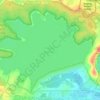
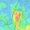
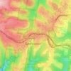
Mappa topografica Smithfield
Clicca sulla mappa per visualizzare l'altitudine.
Smithfield
Established in 1836, Smithfield was the first major settlement of the Fairfield LGA. The original 1838 summary plan of Smithfield shows the suburb laid out in a grid pattern with most of the streets having the same names as they do today. Its altitude ranges from 21 to 48 m (69 to 157 ft) above sea level. Geologically, the suburb sits on the Cumberland Plain. The suburb is a mix of residential, industrial and commercial areas, but is mostly characterized by low-density housing.
A proposito di questa mappa
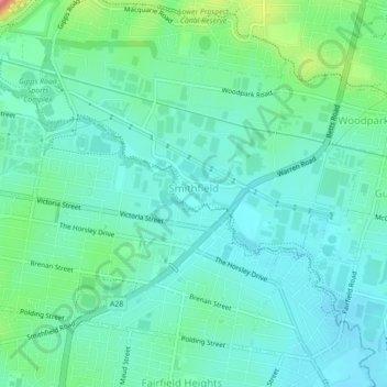
Nome: Mappa topografica Smithfield, altitudine, rilievo.
Altitudine media: 33 m
Altitudine minima: 10 m
Altitudine massima: 111 m
Altre mappe topografiche
Clicca su una mappa per visualizzarne la topografia, l'altitudine e il rilievo.

Sydney Observatory
Australia > New South Wales > Sydney
The place has an association with an extensive array of historical figures most of whom have helped shape its fabric. These include: colonial Governors Hunter, Bligh, Macquarie & Denison; military officers and engineers Macarthur; Barrallier; Bellasis and Minchin; convicts: the as yet unnamed constructors of…
Altitudine media: 14 m









Prospect Hill
Australia > New South Wales > Sydney
As at 19 February 2001, the Prospect Hill area had state significance due to its unique combination of significant landscape feature, potential archaeological site, and association with important historical phases. As a dolerite outcrop rising to a height of 117 metres (384 ft) AHD , Prospect Hill is a rare…
Altitudine media: 65 m