
Mappa topografica Komatke
Clicca sulla mappa per visualizzare l'altitudine.
Komatke
Saint John the Baptist Parish Laveen, the Saint Johns Mission, is in Komatke. The name is taken from the mission school founded by the Franciscans in 1894. It has an estimated elevation of 1,030 feet (310 m) above sea level.
A proposito di questa mappa
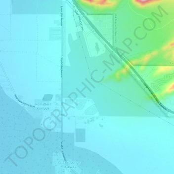
Nome: Mappa topografica Komatke, altitudine, rilievo.
Luogo: Komatke, Maricopa County, Arizona, United States (33.27412 -112.17730 33.32354 -112.15071)
Altitudine media: 335 m
Altitudine minima: 309 m
Altitudine massima: 528 m