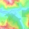
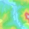
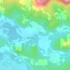
Mappa topografica Lowell
Clicca sulla mappa per visualizzare l'altitudine.
Lowell
The climate of Lowell differs slightly from that of Eugene, which is at lower elevation. Lowell receives 8 inches (20 cm) more of rain and 2 inches (51 mm) more of snow per year than Eugene. In central Lane County, that two inches is significant considering the lack of snow. The higher areas of the town receive more snow and rain as well. Wedged among three reservoirs, it experiences thick winter fog.
A proposito di questa mappa
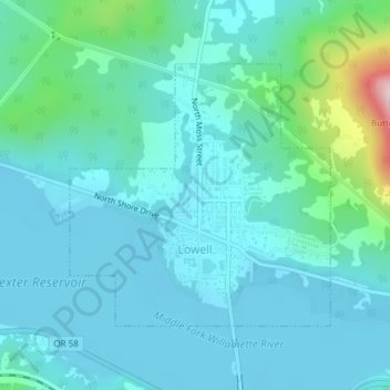
Nome: Mappa topografica Lowell, altitudine, rilievo.
Luogo: Lowell, Lane County, Oregon, 97452, United States (43.91314 -122.79573 43.93130 -122.77065)
Altitudine media: 261 m
Altitudine minima: 209 m
Altitudine massima: 551 m
Altre mappe topografiche
Clicca su una mappa per visualizzarne la topografia, l'altitudine e il rilievo.


Thurston Hills Natural Area
United States > Oregon > Lane County > Springfield
Altitudine media: 324 m