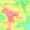
Mappa topografica Daventry
Clicca sulla mappa per visualizzare l'altitudine.
Daventry
According to local folklore Daventry had Danish (Viking) origins, this was partly due to the old pronunciation of Daventry as Daintry, which was interpreted as "Dane Tree", however in more modern interpretation the town's name is thought likelier to be Anglo-Saxon in origin: "Dafa's tree" (Dafa being a founding father or paterfamila) and there was very likely a meeting tree, possibly on Borough Hill. Thus the name may have been formed on lines similar to Coventry ("Cofa's tree", i.e. "tree of Cofa"). Another theory which was popular in the 19th century, was that of Thomas Pennant, the Welsh naturalist and antiquarian, who acknowledged the town's 'considerable antiquity' and speculated that the name was Brythonic, dwy-avon-tre (town of two rivers), a derivation seemingly supported by the town's topography, situated as it is between the sources of the River Leam, which flows west, and the River Nene which flows east. This theory however is now discredited.
A proposito di questa mappa
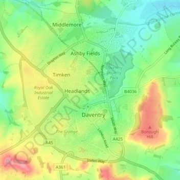
Nome: Mappa topografica Daventry, altitudine, rilievo.
Luogo: Daventry, West Northamptonshire, England, United Kingdom (52.24172 -1.19940 52.28750 -1.12449)
Altitudine media: 148 m
Altitudine minima: 102 m
Altitudine massima: 220 m
Altre mappe topografiche
Clicca su una mappa per visualizzarne la topografia, l'altitudine e il rilievo.
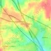
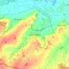
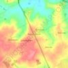
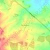


Lower Thorpe
United Kingdom > England > West Northamptonshire > Thorpe Mandeville
Altitudine media: 154 m



Ravensthorpe Reservoir
United Kingdom > England > West Northamptonshire > Coton
Altitudine media: 131 m