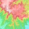
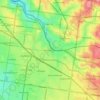
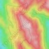
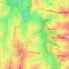
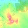
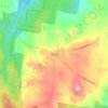
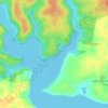
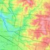
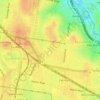
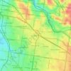
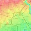
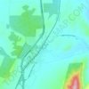
Mappa topografica King Valley
Clicca sulla mappa per visualizzare l'altitudine.
King Valley
The King Valley has a history that includes bushrangers, Chinese and Italian immigration. Chinese migrants came from the Victorian Goldfields in the mid-19th century and began careers as market gardeners, tobacco growers and merchants. Many roads in the Valley today carry the names of such families, like Mahlooks, Honey, Laffy and Fosangs. Italian migrants who arrived in the 1940s and 1950s also began tobacco farming, but later switched to producing European wine varietals. The valley eventually gained a reputation as a wine region for sangiovese, nebbiolo and barbera varieties, with the region containing some of the highest-altitude vineyards in Australia, which are around 800 metres (2,600 ft) above sea level on the Whitlands Plateau at the southern end of the region. Milawa is at the northern end with an altitude of 155 metres (509 ft).
A proposito di questa mappa

Nome: Mappa topografica King Valley, altitudine, rilievo.
Altitudine media: 295 m
Altitudine minima: 193 m
Altitudine massima: 646 m
Altre mappe topografiche
Clicca su una mappa per visualizzarne la topografia, l'altitudine e il rilievo.

Australian Garden - Royal Botanic Gardens Cranbourne
Australia > Victoria > Melbourne
Altitudine media: 70 m