
Mappa topografica Cauvery
Clicca sulla mappa per visualizzare l'altitudine.
Cauvery
The Kaveri (also known as Cauvery, the anglicized name) is one of the major Indian rivers flowing through the states of Karnataka and Tamil Nadu. The Kaveri River rises at Talakaveri in the Brahmagiri range in the Western Ghats, Kodagu district of the state of Karnataka, at an elevation of 1,341 m above mean sea level and flows for about 800 km before its outfall into the Bay of Bengal. It reaches the sea in Poompuhar, in Mayiladuthurai district. It is the third largest river – after Godavari and Krishna – in southern India, and the largest in the state of Tamil Nadu, which, on its course, bisects the state into north and south. In ancient Tamil literature, the river was also called Ponni (the golden mother, in reference to the fine silt it deposits).
A proposito di questa mappa
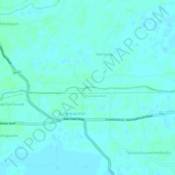
Nome: Mappa topografica Cauvery, altitudine, rilievo.
Altitudine media: 7 m
Altitudine minima: 4 m
Altitudine massima: 10 m