
Mappa topografica Yanam
Mappa interattiva
Clicca sulla mappa per visualizzare l'altitudine.
Yanam
In December 1753, a Paravana of Salabat Jang conceded to Bussy the Northern Circars. Salabat Jang was indebted to the French East India Company for his elevation to the throne, which had been confirmed by the Mughal emperor. The agreement made between the French and Salabat Jang in Aurangabad bears the signature of Said Loukshur, Minister of Salabat Jang. Yanam acquired considerable importance during the French occupation of the Northern Circars.
A proposito di questa mappa
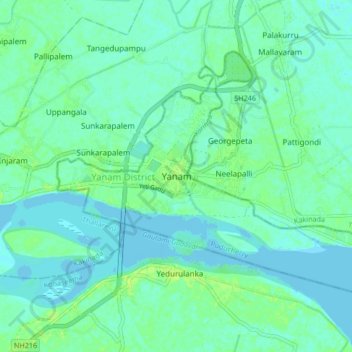
Nome: Mappa topografica Yanam, altitudine, rilievo.
Luogo: Yanam, Yanam Taluk, Yanam District, Puducherry, 533464, India (16.69337 82.17452 16.77337 82.25452)
Altitudine media: 5 m
Altitudine minima: -3 m
Altitudine massima: 13 m