
Mappa topografica Ponmudi
Clicca sulla mappa per visualizzare l'altitudine.
Ponmudi
Ponmudi (the Golden Peak) is a hill station in the Peringamala gramapanchayath of Trivandrum District of Kerala in India. It is located 22km west of Vithura town, 53 km north-east of Trivandrum City, 78 km south-east of Varkala town and 69 km north-east of Kovalam Beach at an altitude of 1,100 m (3,600 ft). Ponmudi (Varayadumotta) peak is a part of the Western Ghats mountain range that runs parallel to the Arabian Sea. Ponmudi is a popular honeymoon destination in South India. The normal temperature of Ponmudi is between 18 and 25 °C (64 and 77 °F).
A proposito di questa mappa
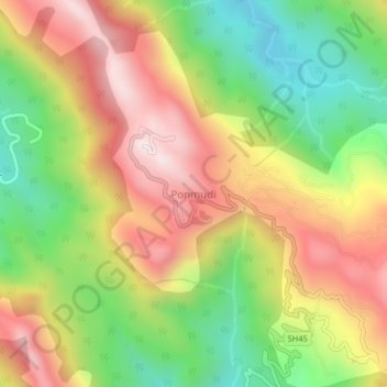
Nome: Mappa topografica Ponmudi, altitudine, rilievo.
Luogo: Ponmudi, Nedumangad, Thiruvananthapuram, Kerala, India (8.74000 77.09500 8.78000 77.13500)
Altitudine media: 673 m
Altitudine minima: 290 m
Altitudine massima: 1.071 m
Altre mappe topografiche
Clicca su una mappa per visualizzarne la topografia, l'altitudine e il rilievo.