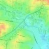
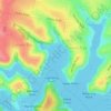
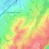
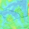
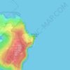
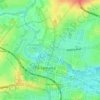
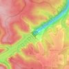
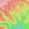
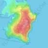
Mappa topografica Bullaburra
Clicca sulla mappa per visualizzare l'altitudine.
Bullaburra
By 1986, Bruce's Walk had come to the attention of two other walkers, Jim Smith and Wilf Hilder, who organised a group of volunteers to clear the track between Bullaburra and Wentworth Falls. In the process, they found many artefacts and features, including signs, shelter caves, seats and picnic tables. This part of the track was officially opened on 24 May 1986, by Alderman David Lawton. The opening was attended by 118 people, including Dick Rushton, who was by then eighty years old. (This opening was condemned by the National Parks and Wildlife Service and the Mayor of the Blue Mountains City Council.) Other stretches of the track, from Wentworth Falls to Medlow Bath, were also cleared by the volunteers and opened later in 1986. The track, however, is still patchy and largely without signposts, and is not shown on the topographic map for the area.
A proposito di questa mappa

Nome: Mappa topografica Bullaburra, altitudine, rilievo.
Altitudine media: 712 m
Altitudine minima: 524 m
Altitudine massima: 834 m
Altre mappe topografiche
Clicca su una mappa per visualizzarne la topografia, l'altitudine e il rilievo.


St Leonards Park
Australia > New South Wales > Sydney > North Sydney
In 2018 it was announced that North Sydney Council would commence an upgrade of the park including improving the war memorial with a reflection pool, restoration of the Tunks Fountain and elevation on a new plinth, new benches, picnic tables, barbecues and drinking fountains, upgrades to lighting, additional…
Altitudine media: 61 m