
Mappa topografica Dankuni
Clicca sulla mappa per visualizzare l'altitudine.
Dankuni
Located at an elevation of None meters (0 feet) above sea level, city's yearly temperature is 30.28 °C (86.5 °F) and it is 4.31% higher than India's averages. Dankuni typically receives about 150.21 millimeters (5.91 inches) of precipitation and has 150.54 rainy days (41.24% of the time) annually.
A proposito di questa mappa
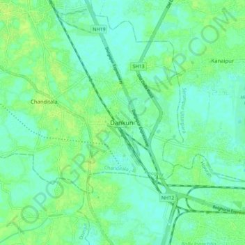
Nome: Mappa topografica Dankuni, altitudine, rilievo.
Luogo: Dankuni, Chanditala - II, Hugli, West Bengal, 712311, India (22.64209 88.25074 22.72209 88.33074)
Altitudine media: 6 m
Altitudine minima: 0 m
Altitudine massima: 11 m