
Mappa topografica Worland
Mappa interattiva
Clicca sulla mappa per visualizzare l'altitudine.
A proposito di questa mappa
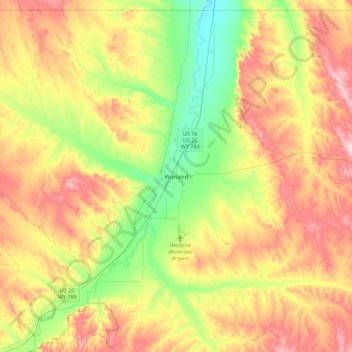
Nome: Mappa topografica Worland, altitudine, rilievo.
Luogo: Worland, Washakie County, Wyoming, 82401, United States (43.85685 -108.11577 44.17685 -107.79577)
Altitudine media: 1.319 m
Altitudine minima: 1.203 m
Altitudine massima: 1.461 m
Worland experiences an arid climate (Köppen BWk), but one which is quite distinct from much of the state. Due to the location within the Big Horn Basin, it is protected from severe weather by the surrounding mountains from nearly every direction. This topography results in weather that is highly continental with frigid and dry winters, little rainfall and few storms.